Tainter Lake/Lake Menomin Total Maximum Daily Load (TMDL)
A framework for water quality improvement
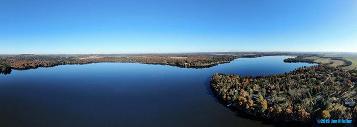 Red Cedar River. Image courtesy of Jon H. Fuller, 2019.
Tainter Lake and Lake Menomin are two impoundments on the Red Cedar River. The lakes are hypereutrophic and experience severe summer algae blooms and poor water clarity. As a result, recreational use of both lakes is greatly limited during the summer season. In 2012, the U.S. EPA approved a Total Maximum Daily Load (TMDL) developed by the DNR for Lakes Tainter and Menomin, calling for a 65% (330,000 lbs) reduction in total phosphorus load.
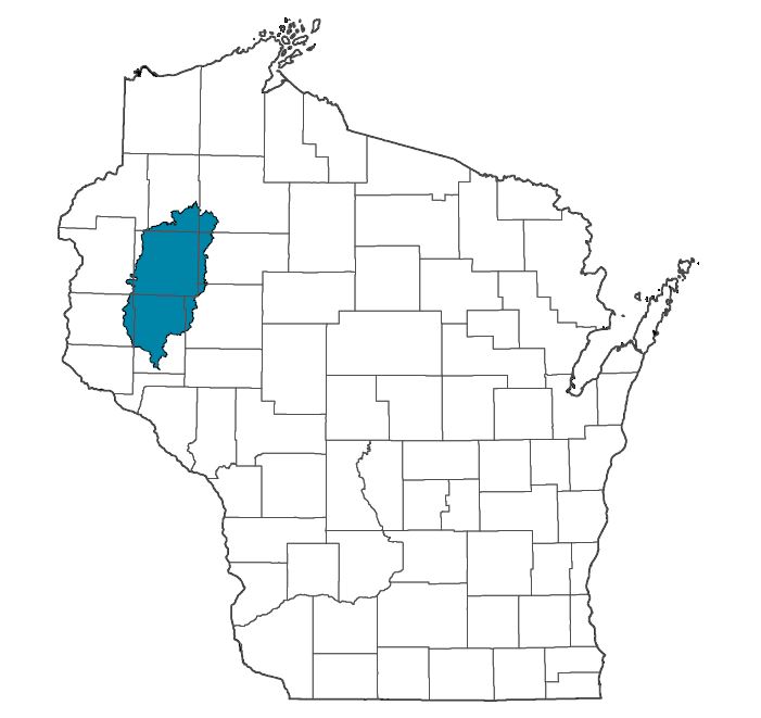
About the Basin
Tainter Lake and Lake Menomin are located in the Red Cedar River basin. The Red Cedar River runs through a large portion of northwest Wisconsin, eventually draining into the Chippewa River about 13 miles south of Menomonie. Its watershed is nearly 1,900 square miles, with forest (51%) and agricultural cropland (28%) predominating the landscape.
TMDL Implementation
The overall goal of TMDL implementation is to meet water quality standards and provide meaningful water quality improvements for Lakes Tainter and Menomin, by reducing the annual total phosphorus load to Tainter Lake by 65% (330,000 lbs). In order to reach this goal, partners in Wisconsin are working together to establish best management practices across the basin. In 2016, a Nine Key Element Plan was approved for the Red Cedar River basin, providing a more detailed implementation strategy. Annual reports put together by UW-Extension highlight the continuing efforts made by partners and can be found below.
Point Source Discharges
There are 12 wastewater facilities that discharge to surface waters in the Red Cedar River basin. Through compliance with the National Pollutant Discharge Elimination System (NPDES) program, all permitted facilities are discharging at or below their TMDL wasteload allocations.
Municipal Separate Storm Sewer Systems (MS4s)
There are two permitted MS4s in the basin: Menomonie and Rice Lake. Both cities are making efforts to reduce phosphorus loading from urban runoff. Further details can be found in the Nutrient Reduction Report in the Resources section.
Agriculture
There are three Farmer-Led Watershed Councils in the Red Cedar River basin: Farmers of Barron County, Hay River Farmer-Led Watershed Council and the Red Cedar Conservation Farmers.