Northeast Sands Ecological Landscape
Regional Master Plan
This planning effort covers the Northeast Sands Ecological Landscape and includes wild rivers, state natural areas, and wildlife and fishery areas. The Northeast Sands encompasses portions of Florence, Marinette, Oconto and Menominee counties and a very small portion of Shawano County. Wild rivers and high-quality coldwater streams, extensive forests and pine barrens are well-represented in this planning process. These areas and other department properties on the landscape provide a variety of quality recreation opportunities to the public year-round.
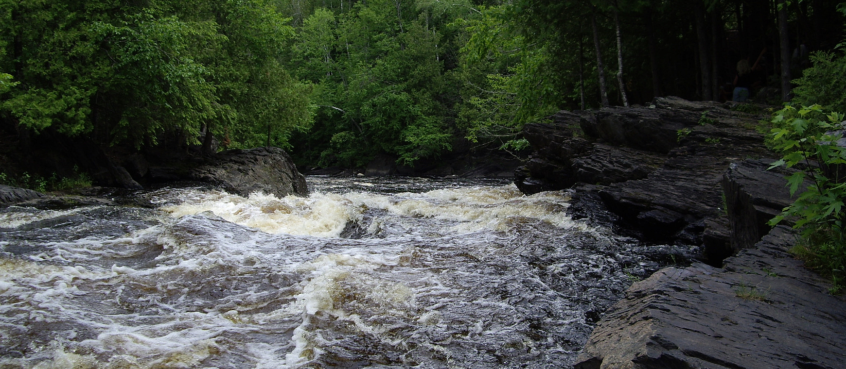 LaSalle Falls on the Pine-Popple Wild Rivers
Regional Master Plan
The Northeast Sands Regional Master Plan was approved by the Natural Resources Board in January 2020.
The interactive map below shows many of the larger, more popular DNR properties in the Northeast Sands region. All properties included in this planning region are listed in Appendix A of the plan document. View all properties in the region and access additional map data with the Property Planning Viewer.
Access a full-screen version of the Interactive Map of Northeast Sands Regional Master Plan Properties. If the map is not loading, please be sure your pop-up blocker is turned off.