Wisconsin Water Explorer (WEx)
The Wisconsin Water Explorer tool allows users to explore characteristics of Wisconsin's water resources and was designed as a companion tool to the Surface Water Data Viewer (SWDV) (the SWDV is a tool that shows maps related to Wisconsin's water resources).
Launch Wisconsin Water Explorer (WEx)
In Wisconsin Water Explorer, you can explore the state's water resources through data visualization:
- Under the "Watersheds" tab in the tool, users can explore characteristics of the watersheds that either contribute directly to a waterbody or characteristics of the cumulative upstream watershed. Examples include land use (e.g., percent forested), geology (e.g., percent glacial moraine) and soils (e.g., percent sand). Users can also explore metrics of watershed health under the "Healthy Watersheds" subtab.
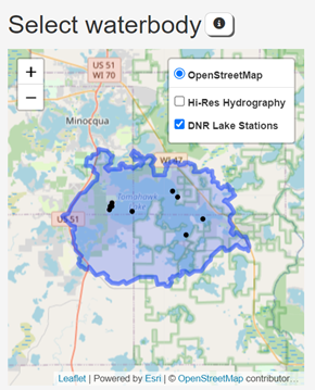
- Under the "Lake Tools" tab, users can explore lake water quality and trends in water clarity, Total Phosphorus or Chlorophyll a. They can also use the WiLMS model to estimate phosphorus loads to the lake and in-lake phosphorus concentrations. For these tools, users must first select a monitoring station from Lake Tools -> Setup.
- Under the "Stream Tools" tab, users can visualize estimated streamflow or use the PRESTO tool to estimate phosphorus loading between point and nonpoint sources.
Resources
- Instructions for using Lake Tools in Wisconsin Water Explorer
- Provide feedback on Wisconsin Water Explorer

