Public Access Lands Publications
Real Estate Program
Buy the Public Access Lands (PAL) Atlas or county portions thereof.
Download county PDF map series.
Search DNR lands for outdoor activities.
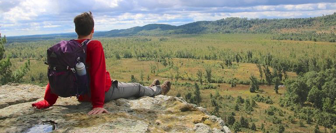
From state natural areas to state trails, lakeshores to rivers, Wisconsin has a wealth of public lands for your enjoyment. Here you can create your own online map, buy the 466-page PAL atlas, download PDF maps from the PAL atlas and search for places based on outdoor activities.
Using public access lands
Public access lands are here for all of us to enjoy. Always read the signs at public land parking lots, trailheads and boat access sites and be familiar with state and local laws and ordinances that might affect your use of these public lands.
Public lands are used by a variety of recreationists, including hunters, fisherman, hikers, dog walkers and bird watchers. Hunting is allowed on most department lands and may occur any day of the year and at all hours of the day and night. To determine if hunting is allowed on a property, please consult the hunting regulations, property webpage, property signage or contact the department at 1-888-936-7463. Download a summary of hunting season dates [PDF].
Please be respectful of others using public lands and “share the land.”
- Contact information
- For more information on an individual property, contact the property manager or:
- DNR Customer Service
Toll Free 1-888-WDNRINFO
(1-888-936-7463)