About Wisconsin's Great Lakes
Lake Michigan and Lake Superior
About
About Lake Michigan and Lake Superior

Wisconsin is bordered to the north and east by two of the world's largest lakes. To the north, Lake Superior forms the largest expanse of freshwater in the world. To the east lies Lake Michigan, the largest freshwater lake entirely within the United States. Lake Michigan and Superior along with Huron, Erie and Ontario and their tributaries form the largest freshwater ecosystem on earth. Their watershed covers parts of eight states and two Canadian provinces.
Wisconsin has more than 800 miles of Great Lakes shoreline and more than 20% of the state's land area lies within the Great Lakes basin. Half of the state's population lives there. More than 1.6 million Wisconsin citizens get their drinking water from Lake Superior or Lake Michigan.
Lake Superior and Lake Michigan have fueled our economic growth; their water is vital for manufacturing businesses and they are the foundation of a valuable tourism industry. More than 250,000 anglers enjoy their sport fishing opportunities. Their harbors and marinas support a $9.4 billion dollar a year recreational boating industry. The lakes serve as a wet highway linking the heartland to global markets with major shipping ports in Green Bay, Milwaukee and Duluth/Superior. More than $7 billion worth of cargo passes through Wisconsin ports each year.
Lake Superior and Lake Michigan also support diverse aquatic and near–shore habitats. Sandy beaches, rocky shorelines, wetlands and the world's largest freshwater dune system can all be found here. Each of these habitats and their collection of plants is unique. Some are found nowhere else on Earth.
Polluted runoff and sediment from farm fields and cities, habitat loss, invasive species, toxic sediments and climate change continue to threaten our Great Lakes. The DNR recognizes that these valuable resources need special care.
Lake Superior
Lake Superior covers 31,700 square miles and holds as much water as Lakes Michigan, Huron, Erie and Ontario combined, with room left over for three extra Lake Eries. It also holds many national treasures like the Apostle Islands and many state parks and recreational areas. The pristine waters and picturesque landscapes draw tourists from all over the world to enjoy the many outdoor recreation and scenic opportunities. Even though it is the most pristine of the Great Lakes, Lake Superior is still threatened by sedimentation and by toxic pollutants that bioaccumulate in the food chain and persist in the environment.
About the DNR Lake Superior Team and Lake Superior Basin Projects
Review and Recommendations for Slow the Flow Practices in Wisconsin’s Lake Superior Basin
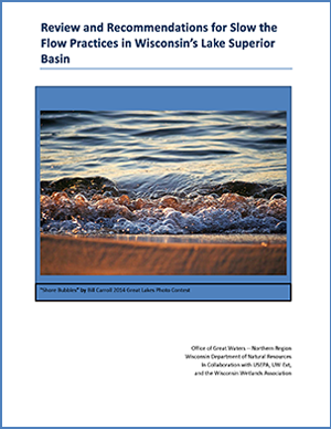
The report, Review and Recommendations for Slow the Flow Practices in Wisconsin’s Lake Superior Basin, provides a strategic watershed approach to reduce excessive water runoff that causes tons of sediment to erode into Lake Superior.
Watersheds in the Wisconsin portion of the Lake Superior basin, specifically those in the red clay plains, are susceptible to from eroding stream banks, bluffs and valleys, which can harm aquatic habitats and degrade water quality due to excessive sediment loading. This report summarizes an extensive literature overview to inform strategic slow the flow efforts and identify conservation priorities in Wisconsin’s portion of the Lake Superior basin.
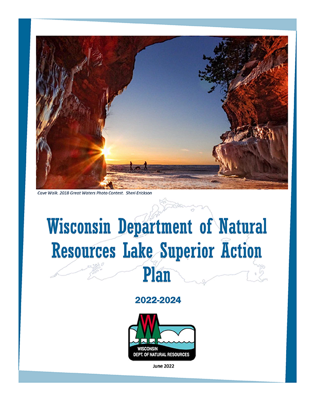
Wisconsin DNR Lake Superior Action Plan 2022-2024
The Wisconsin DNR Lake Superior Action Plan establishes priorities for Wisconsin's portion of the Lake Superior basin and identifies actions that DNR will take to accomplish objectives in the binational Lakewide Action and Management Plan and Great Lakes Water Quality Agreement. The priorities and actions identified by the DNR's resource managers also align with other existing regional plans. They were developed in partnership with landowners, communities, and other agencies and organizations in the Lake Superior basin.
Lakewide Action and Management Plan (LAMP) for Lake Superior
The Lake Superior Lakewide Action and Management Plan (LAMP) is a binational ecosystem-based strategy for protecting and restoring Lake Superior. The Lake Superior LAMP is developed and implemented by the Lake Superior Partnership to facilitate information sharing, set priorities, and coordinate binational environmental protection and restoration activities. Partners include federal, First Nation, provincial and state governments from the United States and Canada. The Lake Superior LAMP outlines the commitments made by the U.S and Canada the under the Great Lakes Water Quality Agreement. The Lake Superior LAMP is revisited and updated every five years and organized by the significant threats facing Lake Superior.
Lake Michigan
The second largest of the Great Lakes, Lake Michigan has a surface area of 22,300 square miles, making it the largest freshwater lake in the U.S. and the fifth largest lake in the world. Lake Michigan is Wisconsin's "working lake" and is a critical part of Wisconsin's economy. The availability of water and an inexpensive, easy way to transport goods brought many industries to the shores and tributaries of Lake Michigan. Lake Michigan cities also benefit from charter fishing, recreational boating and marina activity. Lake Michigan's beautiful and diverse shoreline – from the sandy beaches of Racine, to the sand dunes of Sheboygan, to the rocky shores of Door County – offers some of the state's most popular tourist destinations. Lake Michigan has been impacted by many human activities and significant efforts are needed to restore this magnificent resource.
Lakewide Action and Management Plan (LAMP) for Lake Michigan
The Lake Michigan Lakewide Action and Management Plan (LAMP) is an ecosystem-based strategy for protecting and restoring Lake Michigan. The LAMP is developed and implemented by the Lake Michigan Partnership, which is led by the U.S. Environmental Protection Agency, to facilitate information sharing, set priorities, and assist in coordinating environmental protection and restoration activities.
Lake Michigan LAMP Annual Report 2021