Healthy Watersheds, High-Quality Waters
Protecting Wisconsin's Water Resources
Healthy Watersheds, High-Quality Waters provides a road map for how to strike an improved balance between restoration and protection, all while emphasizing and celebrating the wonderful waters of Wisconsin.
The Healthy Watersheds, High-Quality Waters Action Plan is now available.
This supporting file includes maps and information dashboards for the geographic protection priorities. Check out our new Watershed Restoration and Protection Viewer, an interactive display of the modeling and assessment results.
Now available! 2023 HWHQW Progress Report
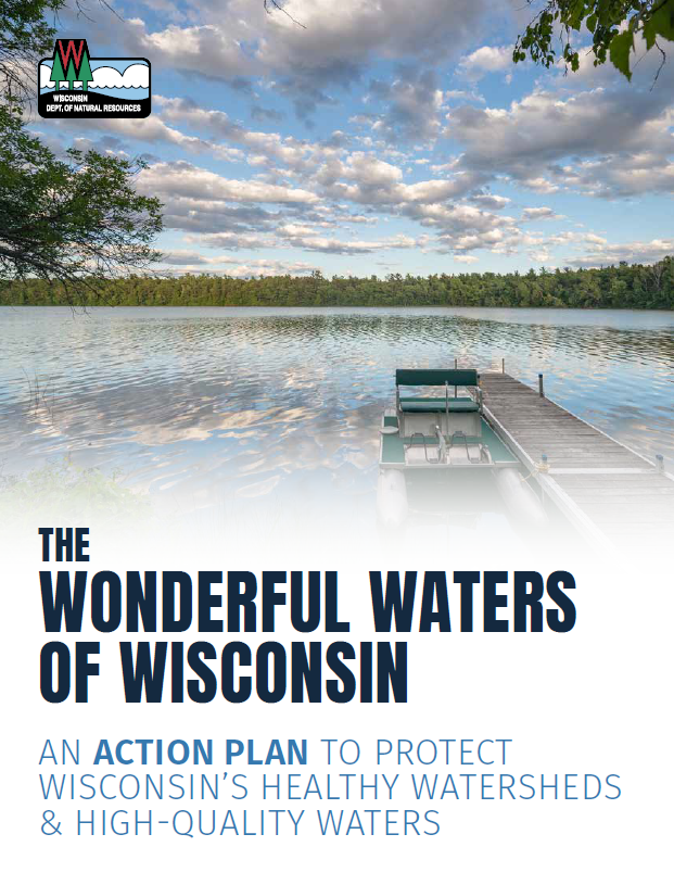
Wisconsin hosts nearly 17,000 lakes, 650 miles of Great Lakes shoreline, about 86,000 miles of streams and 5.3 million acres of remaining wetlands. How do we protect these water resources for future generations?
To draw attention to the state's finest waterbodies, the DNR's Water Quality Program has launched a Healthy Watersheds, High-Quality Waters (HWHQW) initiative. This new focus on the "already healthy" waterbodies and watersheds – or land area draining to a lake, stream or wetland – is intended to celebrate these treasures and draw attention to the ecological, financial and societal benefits of protecting clean water.
The goal of this initiative is to keep 100% of the priority healthy watersheds and high-quality waters within them at or better than their current conditions through 2030. The success of the initiative depends on meaningful partnerships. In spring 2021, the DNR engaged partners to help develop an action plan with the following objectives:
- Increase capacity to provide technical assistance to partners.
- Increase utilization of funding for protection.
- Leverage and adapt existing program tools to achieve results.
- Increase external awareness of protection priority areas and activities.
The Department is excited to launch the Healthy Watersheds, High-Quality Waters Action Plan in April 2022 and begin laying the groundwork for a long-term statewide water resources protection program.
Planning Together to Help Protect Wisconsin's Water Resources
Wisconsin's current effort to create a comprehensive statewide program is unique in its broad scale and requires meaningful engagement of partners in planning and future implementation. These partnerships – federal, state, regional and local – will be keys to success. The rationale for cooperation is compelling – the better we can protect water resources now, the more likely it is that future generations can continue to enjoy and benefit from them.
In 2021, the Healthy Waters Team engaged key partners in refining the HWHQW Kickoff Strategy and helping to define what successful implementation will require in a forthcoming action plan. Eight virtual discussion groups with a total of 164 participants representing 93 organizations tackled a variety of questions. The Partner Discussion Group Summary consolidates the key themes and actions participants shared.
Modeling & Assessment Results
Working with the Environmental Protection Agency (EPA), other DNR programs and partners, the team identified key attributes of healthy watersheds and high-quality waters and used the EPA's Preliminary Healthy Watershed Assessment (PHWA) and Recovery Potential Screening (RPS) tools (epa.gov/rps) to model healthy watersheds. The watershed modeling tool also enables us to better understand stressors that threaten water resources and recognize opportunities to protect watershed health. These stressors and opportunities will help prioritize management actions.
Healthy Watersheds are the gateway for high-quality water protections in this strategy. About 30 percent of lakes, rivers and streams have been monitored for Clean Water Act purposes, for which wetlands are not included. High-quality waters are scored using existing datasets, including waterbody classification information and monitoring data.
Conservation Planning Tools
Conservation planning Tools include online interactive maps that can be used to increase awareness of natural resource values and to plan for management activities in specific geographic areas. The tools featured here are especially complementary to the Healthy Watersheds, High-Quality Waters viewer because they feature additional information at the lake, landscape, or wetland scale or include broad management strategies. Plus, other partners like land trusts may rely on them as their go-to tools.
Healthy Watersheds, High-Quality Waters
This supporting file includes maps and information dashboards for the geographic protection priorities and the Watershed Restoration and Protection Viewer includes an interactive display of the modeling and assessment results.
The HWHQW GIS data will be available here in late July 2023.
Lakes
The Midwest Glacial Lakes Partnership's Conservation Planner provides data to inform communication, management, and research to benefit fish habitat and lake ecosystems. Users can learn about the climate resiliency and shoreland and watershed management strategies for a given lake. Interactive map available.
Landscapes
The Nature Conservancy's Resilient and Connected Network identifies and maps a representative, connected network of climate resilient sites at a broad landscape scale which if conserved, could help sustain biodiversity into the future. The network also protects the source water, carbon stocks, oxygen, and recreation space that people depend on. Interactive map and data download both available.
Wetlands
The Nature Conservancy's Wetlands by Design: A Watershed Approach and the associated online Decision Support System, the Wetlands and Watersheds Explorer, provide prioritized choices for where to invest in both voluntary and regulatory wetland and watershed conservation, including protection or restoration. The results are organized by watersheds, with smaller watersheds (12-digit Hydrologic Units – the same scale as HWHQW) nested within successively larger ones, up to the level of the large river basins. Interactive map available.
Additional Resources
- Wisconsin Water Week 2021 - HWHQW Presentation Videos
- DNR News Release (May 5, 2021): DNR Launches Healthy Watersheds Initiative to Spotlight Wisconsin's Water Resources