


Parks_Topic Contact_WSPS Statewide
For more information, contact:
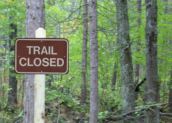
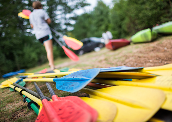
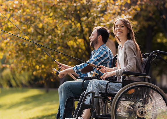
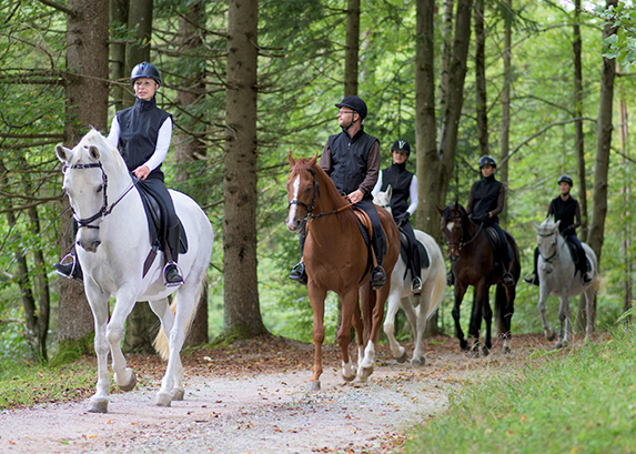
The Wisconsin State Park System provides places for outdoor recreation and for learning about nature and conservation. State parks, forests, trails and recreation areas see more than 20 million visits a year. Come and join the fun!


For more information, contact: