Kettle Moraine Scenic Drive
Wisconsin State Park System
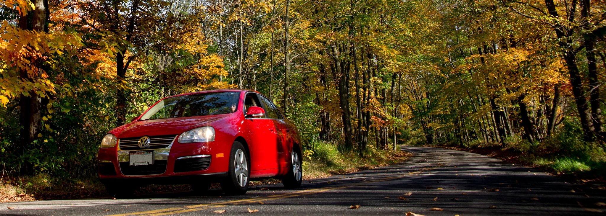
Enjoy the beauty, variety and geology of southeast Wisconsin by driving the Kettle Moraine Scenic Drive. The 115-mile drive traverses six Wisconsin counties. The northern end begins near Elkhart Lake in northern Sheboygan County and the southern end begins at Whitewater Lake in southeastern Walworth County. There are numerous places to picnic, hike, camp, bike, swim, fish, visit historical sites, shop and find lodging along the way.
Directions
A handout with driving directions for the scenic drive is available at all Kettle Moraine State Forest offices. The handout provides road names and distances between major crossroads, communities, developed recreational areas and historical landmarks on or near the scenic drive.
Geological landmarks
Wisconsin lent its name to the most recent series of glacial advances and retreats: the Wisconsin Glaciation that lasted from about 100,000 to 10,000 years ago. Massive lobes of ice (up to 2 miles thick) collided here, causing tremendous pressure, friction and buckling of the land surface. As the glacier retreated, moraines, drumlins, kames and eskers were formed. Many lakes, bogs, wetlands and potholes are also a direct result of glacial activity.
Explore and enjoy the many state natural areas and geological landmarks on and near the Kettle Moraine Scenic Drive. These features listed from north to south along the drive, include:
Kettle Moraine State Forest - Northern Unit
- Kettle Moraine State Forest - Northern Unit
- Kettle Moraine Red Oaks State Natural Area
- Johnson Hill Kame State Natural Area
- Spruce Lake Bog State Natural Area
- Butler Lake and Flynn's Spring State Natural Area
- Dundee Kame, (also known as Dundee Mountain and White Kame)
- Crooked Lake Wetlands State Natural Area
- Kettle Hole Woods State Natural Area
- Haskell-Noyes Memorial Woods State Natural Area
- Spring Lake State Natural Area
- Milwaukee River and Swamp State Natural Area
- Kewaskum Maple-Oak Woods State Natural Area
- Milwaukee River Floodplain State Natural Area
Kettle Moraine State Forest Units
Kettle Moraine State Forest - Southern Unit
- Kettle Moraine State Forest - Southern Unit
- Clifford F. Messinger Dry Prairie and Savanna Preserve (16 separate units)
- Ottawa Lake Fen State Natural Area
- Kettle Moraine Low Prairie State Natural Area
- Scuppernong Prairie State Natural Area
- Eagle Oak Opening State Natural Area
- Kettle Moraine Oak Opening State Natural Area
- Bluff Creek State Natural Area
History
In the early 1940s the Kettle Moraine Committee of the Milwaukee Chapter of the Izaack Walton League championed the development of the Kettle Moraine State Forest under the leadership of the late Attorney Raymond T. Zillmer. It is believed that the first discussions about the possibility of a scenic drive through the length of the Kettle Moraine area were in this committee. Some of the other interested people who urged the development of the drive included J. Walter Strong, Ralph Brown and Charles Broughton.
The objective of a drive of this kind was to provide the most effective and scenic highway route that people could use to spend a day or possibly two, seeing the best in the way of natural features in the Kettle Moraine region. Furthermore, it was to be easily accessible from as many large cities as possible and lead past or near as many developed state parks and forests as possible.
It was not until 1946 that an actual study and survey of possible routes was started. At the direction of C. L. Harrington, Lowell G. Hansen and Clyde T. Smith began a careful examination of the entire district. In an effort to find the route with the most scenic beauty, every north, south, east and west road in the entire Kettle Moraine area was driven. Aerial photographs were also used.
After approval of the proposed route by the Conservation Commission in late 1946, the whole proposal was submitted for approval to the Wisconsin Highway Commission. In 1948, the Wisconsin Highway Commission approved the idea and route in principle. The Highway Commission joined with the Conservation Commission in designing the green acorn sign to be used to mark the drive, but the actual erection and maintaining of the signs fell to the Conservation Department (now the Wisconsin Department of Natural Resources). The first paving project was completed in 1950.
Historic sites
Explore and enjoy the historical sites on or near the Kettle Moraine Scenic Drive:
- Wade House [exit DNR], an 1860s stagecoach inn, Greenbush
- Holy Hill [exit DNR], Washington County
- Cushing Memorial Park [exit DNR], Delafield
- Old World Wisconsin [exit DNR], outdoor museum of rural life, Eagle
Travel Wisconsin Listings
Listings on or near the Kettle Moraine Scenic Drive:
- Kettle Moraine Scenic Drive [exit DNR]
- Elkhart Lake Visitor's Center [exit DNR]
- Washington County Convention Visitor's Bureau [exit DNR]
- Delafield Promotional and Tourism Office Visitor Center [exit DNR]
- Whitewater Tourism Council Visitors Center [exit DNR]
- Whitewater Lake Beach [exit DNR]
- Ice Age Trail Alliance [exit DNR]
More in the area
- Wisconsin cities and regions [exit DNR]
- Sheboygan County Chamber of Commerce: Convention and Visitors Bureau [exit DNR]
- Fond du Lac Area Convention and Visitors Bureau [exit DNR]
- Washington County Convention and Visitors Bureau [exit DNR]
- Waukesha County Convention and Visitors Bureau [exit DNR]
- Waukesha County Parks [exit DNR]
- Jefferson County Parks [exit DNR]
- Walworth County Visitors Bureau [exit DNR]
- Kewaskum [exit DNR]
- West Bend [exit DNR]
- Hartford [exit DNR]
- Delafield [exit DNR]
- Whitewater [exit DNR]