Pecor Point Unit
Green Bay West Shores Wildlife Area
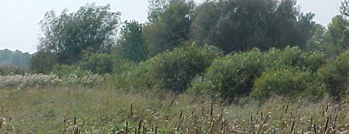
The Pecor Point Unit consists of approximately 130 acres and is located two miles northeast of Pensaukee along County Road S and Pecor Point Lane in Oconto County. The end of Pecor Point Lane was formerly used as an access point for waterfowl hunters but due to low water levels and an infestation of phragmites, access is greatly hindered. The area is predominantly shrub-carr and sedge meadow. There is an area of lowland forest within the unit.
Management objective
Land acquisition in the Pecor Point Unit land began in 1981. This unit provides access to Green Bay and is an important stopover area for migrating waterfowl and other wetland-dependent birds. Management of the Pecor Point unit is complemented by management opportunities presented on an adjacent Department of Transportation wetland mitigation site and the DNR owned Beaver Meadow fish spawning area. These additional wetlands add similar natural wetland habitat to the Pecor Point unit. Wetland management is primarily passive, although efforts to control invasive species remain a priority.
Recreation
Many recreational opportunities exist at the Pecor Point Unit.
- Birding
- Cross country skiing (no designated trail)
- Fishing
- Hiking (no designated trail)
- Hunting (especially noted for deer, turkey, waterfowl and small game)
- Trapping
- Wild edibles/gathering
- Wildlife viewing
Maps
Download [PDF] a map of this property.
If you are interested in exploring this property further, you can access an interactive map.

Find out more about how to adopt this wildlife area.