Chippewa Valley team
Streambank Protection Program
Along with the Wisconsin and Black rivers, the Chippewa River is among the Upper Midwest’s most ecologically important large river systems because of the wealth of aquatic life it supports, the many excellent examples of native vegetation (aquatic, wetland, and upland) that are associated with the river corridor, and the numerous populations of rare species that are found here. The Red Cedar and Eau Claire Rivers are major tributaries to the Chippewa River and drain most of the western, northern, and eastern portions of the Chippewa River Region. Numerous small trout streams feed this drainage area and provide a high number of coldwater resources in a small geographic area.
The Chippewa Region, along with the Black and Kinnickinnic River Regions represent the heart of brook trout country in the Driftless Area. Brook trout are most abundant in the western watersheds of the region as well as the far north and northeastern portion of the region. More specifically, the Upper Duncan Creek subwatershed has the highest stock-sized brook trout density in the region followed by McCann, Cady, Beaver, Upper South Fork of the Hay River, and Sand Creek sub‐watersheds. The southern and eastern portion of the region has the lowest brook trout abundance values.
From the perspective of the entire Driftless Area, the Chippewa River Region holds the least amount of public access for trout angling at 10.7% of the total trout stream miles. A geographic mismatch exists between the fate of the region’s brook trout fishery to climate change and contemporary public access conditions. Many of the sub‐watersheds that hold good public access are also the same sub‐watersheds that are most vulnerable to the effects of climate change on thermal habitat and trout populations.
Considerations
- The Chippewa River region is large, with 16 watersheds. It is a very accessible region that is bisected by major highways and the interstate. The western portion of the region is within and 1-hr drive of the Twin Cities and includes three of the top ten largest urban areas within the Driftless Area: Eau Claire, Menominee, and Chippewa Falls. Lots of public lands are associated with the Chippewa River (state) and the Eau Claire River (county).
- Brook trout dominate the Chippewa River region, particularly in the western and northern parts of the region where a noticeable stream gradient exists. Eleven of the 16 watersheds in the region support an average or better abundance of brook trout.
- The western portion of the Chippewa River region contains a number of streams that are projected to retain much of their current thermal condition, providing habitat conditions suitable for brook trout into the future despite projected climate warming.
- The Kinnickinnic River Region contains a concentration of sub‐watersheds with very high brown trout densities. At nearly 550 fish/mile, the Kinnickinnic River watershed has the highest median catch rate for brown trout in the Driftless Area.
- The Kinnickinnic watershed scores well for restoration and the amount of angling access. The other watersheds in the Kinnickinnic Region, however, score fair-to-poor for habitat work, and all have poor public access relative to demand as measured by proximity to population. The Kinnickinnic region is very close to the Twin Cities and provides a quick day trip opportunity for those anglers and local anglers from Pierce and St. Croix counties.
Highlighted streams
- Hay River/South Fork Hay River
- Dorrity Creek
- Upper Pine Creek
- Tiffany Creek
- Sand Creek
- Duncan Creek
- Running Valley Creek
- Wilson Creek
- Hay Creek
- Rush Creek
- Gilbert Creek
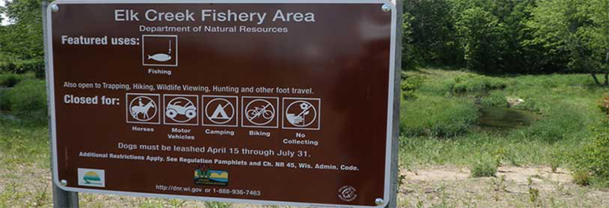
- Elk Creek
- Eau Galle River
- Rush River
- Isabelle River
- Trimbelle River
- Plum Creek
- Porcupine Creek
- Arkansaw Creek
- Otter Creek
- Bears Grass Creek
Partners
- TU – Clearwater Chapter
- TU – Kiap Tu Wish Chapter
- Driftless Area Land Conservancy
- Durand Rod & Gun Club
- Augusta Rod & Gun Club
- North Central WI Land Conservation Departments
- St. Croix Sportsmans Alliance
- Kinnikinnic River Land Trust
- Western WI Land Trust
- Natural Resources Conservation Service
- Westgate Sportsmans Club
- Eau Claire Rod & Gun Club
- Eau Galle Rush River Sportsmans Club
- Mondovi Conservation Club
- Willow River Rod & Gun Club
- UW Stout Fishing Club
Accomplishments
The Chippewa Valley Team and its conservation partners have worked to acquire stream bank easements directly from landowners within their region. These easements provide public access to high-quality trout streams and allow the DNR to manage these stream corridors to increase the health of the trout fishery for today and future generations.
From July 2014 to June 15, 2016, the Chippewa Valley Team worked with property owners to purchase 30 easements in 12 sub-watersheds. These transactions resulted in a total of 143.94 easement acres encompassing 53,482 stream feet (10.13 miles) at a cost of $498,765; an average of $3,465 per easement acre or $9.33 per stream foot.